iEFIS Simulator and Designer
Learn To Use and Design Your iEFIS!
 The iEFIS features a full-featured PC simulator that allows you to simulate just about all of the functions of the iEFIS on your PC. Learn how to operate you iEFIs in the relaxed environment of your home without killing your aircraft battery.
Follow these instructions:
- Go to this page and download Navidata, Vector Maps and the Terrain G3 file Terrain Low Resolution and save them to your PC. You can also download the Raster maps (Sectionals and Terminals) optionally. Unzip zipped files.
Database Updates - Open the Simulator and start a new project and use the File Manager function to copy and paste the following files into the following locations:
- Copy and paste NAVIDATA.ewd to this folder in the right side window in File Manager:
ExplorerSim\YOUR PROJECT\Flash\Navdata\
- Now copy and paste VMAP.evd to this folder in the right side window in File Manager:
ExplorerSim\YOUR PROJECT\Flash\Maps\
- Then, copy and paste the TERRAINL.DAT terrain files to his folder in the right side window in File Manager:
ExplorerSim\YOUR PROJECT\Flash\Terrain\
- Copy and paste NAVIDATA.ewd to this folder in the right side window in File Manager:
- Then, go to a map page in your sim. Click on the Map and then Options (the tool symbol) and then make sure the map is in VECTOR mode.
- Then, click Sensor Simulation and then SHOW GPS. Then, type in your co-ordinates (only change what is BEFORE the degrees symbol) and click GPS position valid.
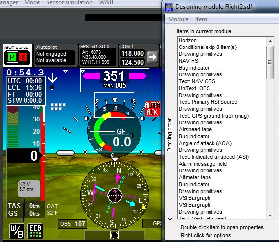
Design Your Screens With The Simulator
The simulator is also used in designing custom screens for the iEFIS system. If you would like to design your own screens, the directions can be found by clicking the button below.

